From WikiGallery

Jump to: navigation, search
Share:        Link to this page
Jump to: navigation, search

Map of East Africa and Madagascar

by Arnold Florent van Langren

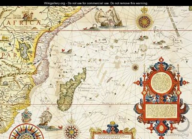
Map of East Africa and Madagascar - Arnold Florent van Langren
[locked]

Information

Description
English: "Map of East Africa and Madagascar" oil on Canvas.
Source

http://www.wikigallery.org/

Date

1596

Author

Arnold Florent van Langren

Download

Click here to download image

Permission

Free for non commercial use. See below. Click here to report copyright issues.

Like it

[locked]

Licensing

Public domain This image (or other media file) is in the public domain because its copyright has expired. However - you may not use this image for commercial purposes and you may not alter the image or remove the WikiGallery watermark.

This applies to the United States, Canada, the European Union and those countries with a copyright term of life of the author plus 70 years.


Note that a few countries have copyright terms longer than 70 years: Mexico has 100 years, Colombia has 80 years, and Guatemala and Samoa have 75 years. This image may not be in the public domain in these countries, which moreover do not implement the rule of the shorter term. Côte d'Ivoire has a general copyright term of 99 years and Honduras has 75 years, but they do implement that rule of the shorter term.


[locked]

Rate this Painting

NOT RATED YET
Click on the stars
to rate this painting


[locked]

Next Paintings

Map of Flanders at the time of the Thirty Years war 1618-48 - Arnold Florent van Langren
Map of West African coastline - Arnold Florent van Langren
[locked]

Related Paintings

View of the Harbour of Taloo in the Island of Eimeo, from Views in the South Seas, pub. 1789 - John Webber
Map of Ireland - C. Montague
Aspargus Island - William Holman Hunt
In the Isle of Ely - Robert Winter Fraser
View Of Capri - Federico Nerly
View of the Corocores of the Island of Guebe, from the Island of Pisang, from Voyage Autour du Monde sur les Corvettes de LUranie 1817-20 engraved by Coutant, published 1825 - (after) Pellion, Alphonse
Corsica Sardinia and Sicily - Diego Homen
The Wave from the series 100 Views of the Provinces - (after) Hiroshige, Ando or Utagawa
Shipping before St Micahel's Mount - S.L. Kilpack