The Indian Subcontinent to the Philippines by way of the northern portions of the Indonesian archipelago and the Malay Peninsula - Jodocus Hondius
The Morning Gun - Adriaen Van Diest
Landscape in Northern Italy, c.1859 - George Clarkson Stanfield
View of Bath from Spring Gardens - Thomas Hearne
Moored Sailing Vessel - Hendrik Hulk
Santa Maria della Salute, Venice - (after) Francesco Guardi
The Landing Stage - Thomas Alexander Fergusson Graham
The Ponte Rotto And Temple Of Vesta, Rome - William Callow
On the Thames - Peter de Wint

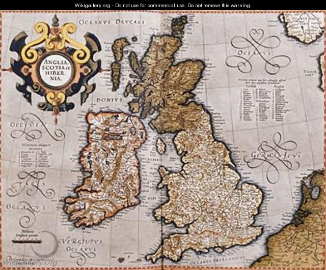
 Map of the British Isles from Atlas sive Cosmographicae meditationes de fabrica mundi et fabricati figura 1595 - Gerard Mercator


 Francesco Guardi")


