From WikiGallery

Jump to: navigation, search
Share:        Link to this page
Jump to: navigation, search

Map of Canada from Carte de lAmerique Septentrionale

by Jean Baptiste Louis Franquelin

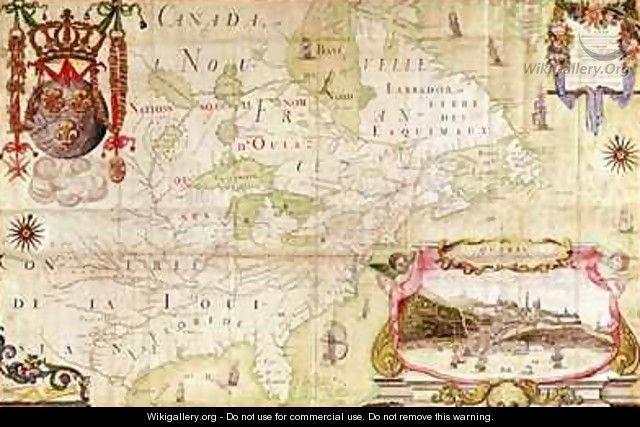
Map of Canada from Carte de lAmerique Septentrionale - Jean Baptiste Louis Franquelin
[locked]

Information

Description
English: "Map of Canada from Carte de lAmerique Septentrionale" oil on Canvas.
Source

http://www.wikigallery.org/

Author

Jean Baptiste Louis Franquelin

Download

Click here to download image

Permission

Free for non commercial use. See below. Click here to report copyright issues.

Like it

[locked]

Licensing

Public domain This image (or other media file) is in the public domain because its copyright has expired. However - you may not use this image for commercial purposes and you may not alter the image or remove the WikiGallery watermark.

This applies to the United States, Canada, the European Union and those countries with a copyright term of life of the author plus 70 years.


Note that a few countries have copyright terms longer than 70 years: Mexico has 100 years, Colombia has 80 years, and Guatemala and Samoa have 75 years. This image may not be in the public domain in these countries, which moreover do not implement the rule of the shorter term. Côte d'Ivoire has a general copyright term of 99 years and Honduras has 75 years, but they do implement that rule of the shorter term.


[locked]

Rate this Painting

NOT RATED YET
Click on the stars
to rate this painting


[locked]

Next Paintings

Map of New France dedicated to Colbert by Duchesneau Intendant - Jean Baptiste Louis Franquelin
Map of New France dedicated to Colbert by Duchesneau Intendant 2 - Jean Baptiste Louis Franquelin
View of Quebec cartouche of a map depicting St Lawrence River from Sorel - Jean Baptiste Louis Franquelin
[locked]

Related Paintings

View of Westminster from the Thames - Claude T. Stanfield Moore
Unloading The Catch, Near Benchurch, Isle Of Wight - William Joseph Shayer
The Merchant Vessel Peru In Three Positions Off The Coast Of Dover - William Huggins
A British First Rate in the Atlantic with Cadiz off to starboard - James E. Buttersworth
Scenes from the Life of St Rainerus - Andrea Bonaiuti da Da Firenze
Horses On A Shore 1905 - Valentin Aleksandrovich Serov
Evening a capriccio of a moonlit Mediterranean bay - Charles Francois Lacroix de Marseille
On The Tyne, East Linton - Robert Noble
Map of Lubeck and Hamburg from Civitates Orbis Terrarum - (after) Hoefnagel, Joris